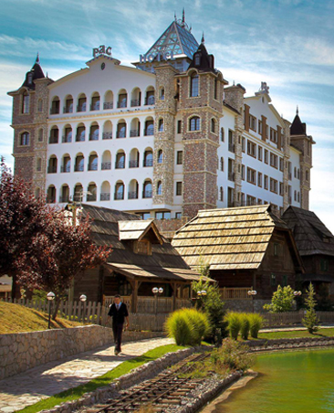
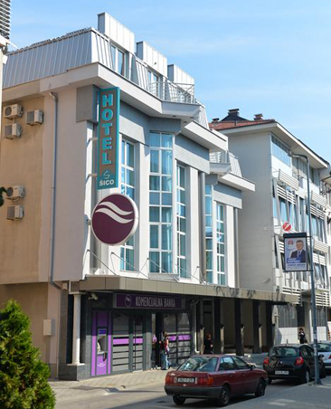
is located in the northeast of Republika Srpska (Bosnia and Herzegovina) at coordinates 44 ° 45′16 ″ north and 19 ° 12′59 ″ east, at 90 m above sea level. After Banja Luka, it is the second largest town in the Republlic of Srpska and the fifth largest in Bosnia and Herzegovina. It is located in the Semberia Plain and represents the crossroads for Serbia, Croatia and the interior of Bosnia and Herzegovina. It is considered the unofficial center of the eastern part of the Republic of Srpska with a population of about 45,000. It is 6 km (4 km) from the border with Serbia and 40 km (25 km) from Croatia. Being practically in the center of the fertile plain, it is one of the centers of food production and trade. The major part of the production is made from cereals wheat and corn and vegetables such as cabbage, peppers and tomatoes. Fruit and livestock are also represented, but to a lesser extent. Bijeljina is recognizable by its large central square, whose beauty is complemented by the ambience of a nearby city park.
The climatic conditions prevailing in this area are mostly influenced by the northern peripanonian part, which belongs to the temperate continental Pannonian zone.
The earliest traces of habitation found date from the Neolithic period - Starčevo culture, 5-4. millennium AD. Important intersection of cultural influences in the Neolithic, Bronze Age and later. Bijeljina was one of the centers of the Pannonian-Illyrian uprising.
Notable figures of the 19th century include Filip Visnjic and Ivo of Semberia, prince of Bijeljina nahija, whose characters are on the coat of arms of the town of Bijeljina. Although the name "Bijeljina" was first mentioned as early as 1446, it was only officially made in 1918. During the rule of Austro-Hungary the town was called "Bjelina" and before that "Belina" and "Bilin.


Декан факултета проф. др Далибор Стевић пожелео је добродошлицу на IV Стручни скуп у оквиру Научног скупа са међународним учешћем "Наука и настава данас" који организује Педагошки факултет са партнерима из земље и региона. Стручни скуп je одржан 21. 9. 2024. године.

Четрнаести научни скуп са међународним учешћем “Наука и настава данас”, у организацији Педагошког факултета Универзитета у Источном Сарајеву, свечано је отворен данас у Бијељини и окупио је 180 учесника из 14 земаља са 120 радова.

Тринаести научни скуп са међународним учешћем “Наука и настава данас”, у организацији Педагошког факултета Универзитета у Источном Сарајеву, свечано је отворен данас у Бијељини и окупио је 172 учесника из 11 земаља са 99 радова.